Planning Applications
We can provide a surveying and mapping service for any stage of the planning application process, including:
- Full planning permission
- Planning permission in principle (formerly outline planning permission)
- Matters specified in conditions submissions
- Agricultural, forestry and hill track prior notifications
- Certificates of lawfulness
- Mapping for planning obligations (formerly Section 75 Agreements)
We ensure that all of our maps meet the strict guidelines of planning authorities across Scotland to ensure the validation process goes smoothly.
All of our plans are available in formats suitable for both the standard paper submission process and electronic submission through the Scottish eDevelopment Portal.
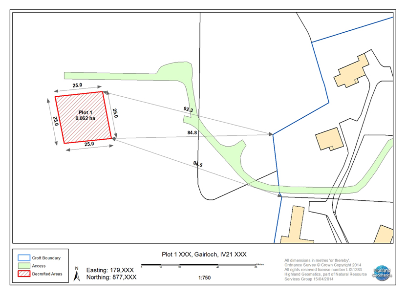
Please click on the image below to see a sample: